
UNESCO names 18 new Global Geoparks
Climate and Environment
The UN’s Educational, Scientific and Cultural Organization (UNESCO) has endorsed the addition of 18 new sites from around the world to its network of outstanding Geoparks, showcasing some of the most beautiful sites of natural beauty around the globe.
|
The UNESCO Global Geopark designation was created in 2015, and recognizes “geological heritage of international significance”. Geoparks serve local communities by combining the conservation with public outreach and a sustainable approach to development. The 18 new designations brings the total up to 195 Geoparks, covering a total surface area of 486,709 km2, equivalent to twice the size of the United Kingdom. Two UNESCO Member States are joining the network for the first time: New Zealand and the Philippines. Here’s a full list of the newcomers: |
Brazil: Caçapava Geopark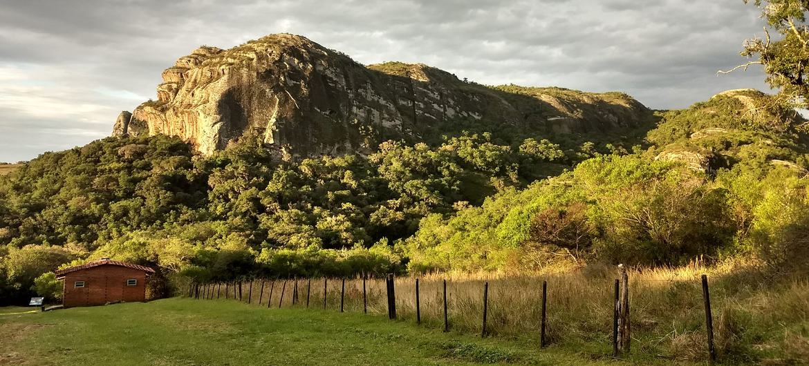 Caçapava UNESCO Global Geopark in Brazil.
For the Guarani, an indigenous people in Brazil, this geopark is “the place where the jungle ends”, located in Rio Grande do Sul State in southernmost Brazil. Its geological heritage, which consists of mining sulfide metals and marble, has been vital for the region’s economic development. Besides its geodiversity, the geopark is home to endangered cacti, bromeliads, endemic flowers, and bee species. Brazil: Quarta Colônia Geopark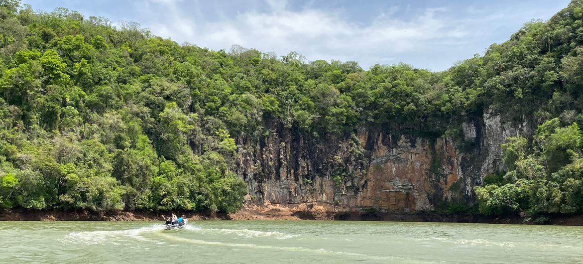 Quarta Colônia UNESCO Global Geopark, Brazil.
This geopark is located in the south of Brazil between the Pampa and Atlantic Forest biomes. Its name is a reference to the period when Italians colonised the central part of the state of Rio Grande do Sul. There are colonial villas, traces of indigenous and settlements of the quilombolas (formerly enslaved people of African descent). The geopark is also rich in fossils of animal and plant life, dating back 230 million years. Greece: Lavreotiki Geopark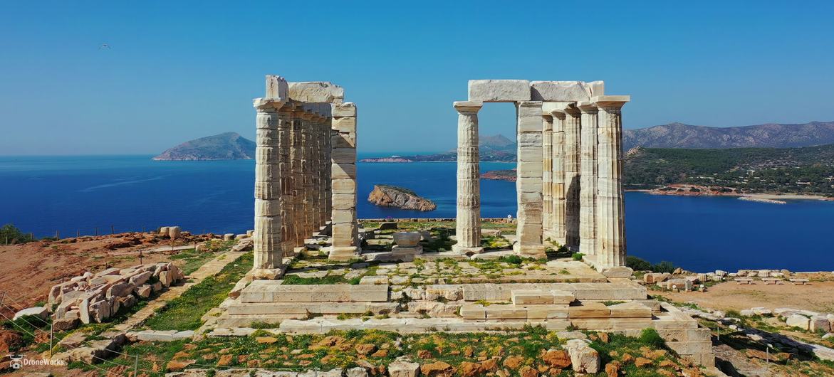 Lavreotiki UNESCO Global Geopark, Greece.
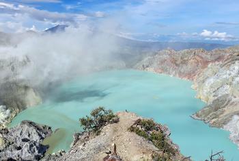
Famous for the abundance and variety of its mineralogical specimens, many of which were first discovered in the area, this geopark is known around the world for the silver that is extracted from mixed sulfide deposits. The region has been inhabited since antiquity due to its underground geological wealth and is currently home to over 25,000 inhabitants. Lavreotiki also houses the Byzantine Holy Monastery of St Paul the Apostle. Indonesia: Ijen GeoparkThis gem is located in the Banyuwangi and Bondowoso Regencies in East Java Province. Its location between the strait and the sea has made it a crossroads for human migration and commerce. Ijen is one of the most active volcanoes in the Ijen caldera system. Thanks to a rare phenomenon, high concentrations of sulfur rise from the active crater before igniting as they encounter the oxygen-rich atmosphere; as the gas burns, it forms an electric blue flame which is unique, and only visible at night. Indonesia: Maros Pangkep Geopark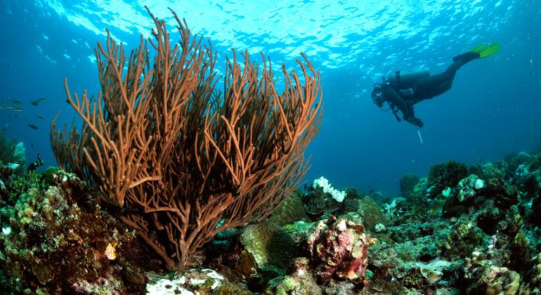 This geopark is located along the southern arm of the island of Sulawesi in the Maros and Pangkep Regencies. The local population is primarily composed of the indigenous peoples of Bugis and Makassarese. This archipelago lies in the Coral Triangle and serves as a centre for the conservation of coral reef ecosystems. The area is more than 100 million years old. Indonesia: Merangin Jambi Geopark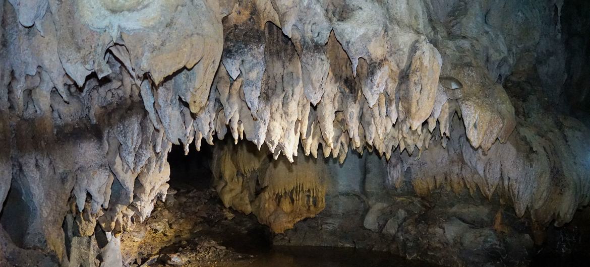 Merangin Jambi UNESCO Global Geopark, Indonesia.
This geopark is home to the unique fossils of “Jambi flora”, which are the only exposed fossilized plants of their kind in the world today. These are located in the central part of Sumatra Island in Indonesia. The name ‘Jambi flora’ refers to fossilized plants found as part of a rock formation dating from the Early Permian era (296 million years old). The fossils include mosses, primitive conifers and seed ferns, which reproduce via seed dispersal instead of through spores. Indonesia: Raja Ampat Geopark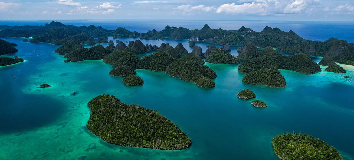 Raja Ampat UNESCO Global Geopark, Indonesia.
This geopark’s territory includes four main islands and is special for having the oldest exposed rock in the country, which is almost one-tenth as old as Earth itself. Scuba-divers flock to the area, drawn by the beauty of the underwater caves and the extraordinary marine mega-biodiversity. Here, they can observe rock art produced by prehistoric humans who lived in the area several thousand years ago. Iran: Aras Geopark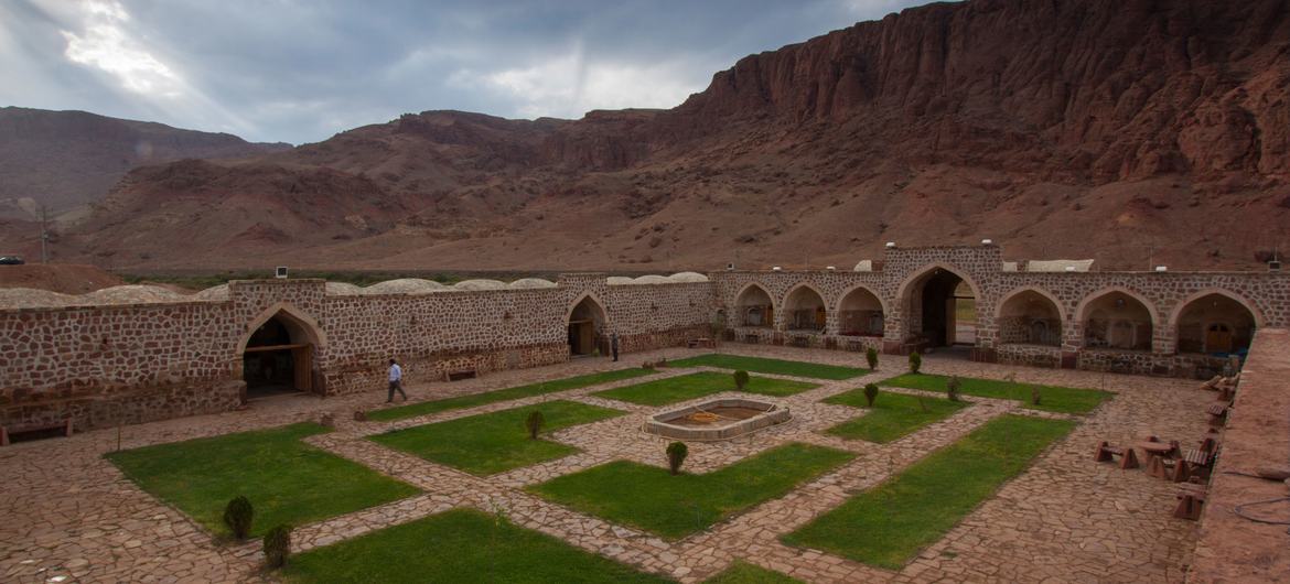 Aras UNESCO Global Geopark, Iran.
The Aras River marks the northern limit of this geopark located in northwestern Iran at the southern end of the Lesser Caucasus Mountain range. This mountain range acts as a natural barrier. It has created a range of climates, as well as rich geodiversity and biodiversity; it also links different cultures on the northern and southern sides of the mountain chain. Iran: Tabas Geopark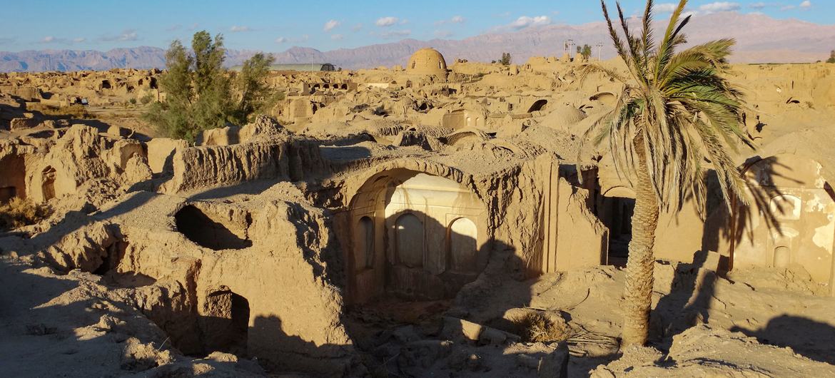 Tabas UNESCO Global Geopark, Iran.
Many thinkers have referred to the 22,771 km2 of desert in northwest South Khorasan Province where this geopark is located as “the geological paradise of Iran”. This is because one can follow the evolution of the planet from the earliest part of the Earth’s history 4.6 billion years ago (the Precambrian) to the Early Cretaceous about 145 million years ago without the slightest interruption. The geopark is home to the Naybandan Wildlife Refuge, the largest in Iran, which covers an area of 1.5 million hectares and is the most important habitat of the Asian cheetah. Japan: Hakusan Tedorigawa Geopark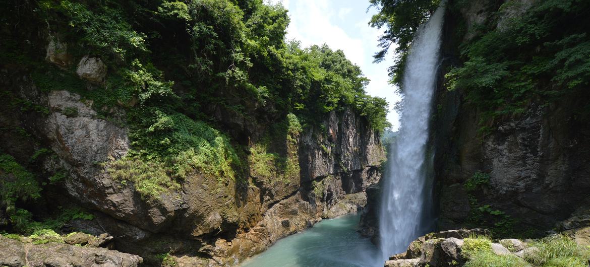 Watagataki waterfall in the Tedori Gorge, Japan.
Located in central Japan, where it follows the Tedori River from Mount Hakusan down to the sea, the Hakusan Tedorigawa Geopark records approximately 300 million years of history. It contains rocks that were formed by the collision of continents. It also has strata containing fossils of dinosaurs which accumulated in rivers and lakes on land at a time when Japan was attached to the Eurasian continent. Malaysia: Kinabalu Geopark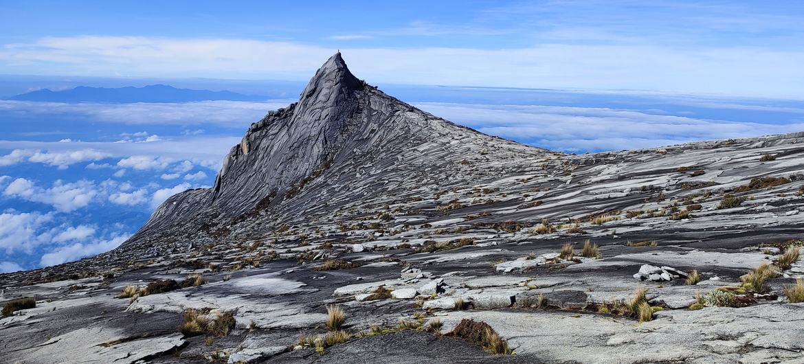 Kinabalu UNESCO Global Geopark, Malaysia.
Mount Kinabalu dominates this geopark in the State of Sabah at the northern end of the island of Borneo. The highest mountain lying between the Himalayas and New Guinea, Mount Kinabalu has been attracting explorers for over a century. Covering an area of 4,750 km2, the geopark is home to many endemic plants and animals, including 90 orchid species that exist only on Mount Kinabalu, and the crimson-headed partridge bird not found anywhere else on Earth. New Zealand: Waitaki Whitestone Geopark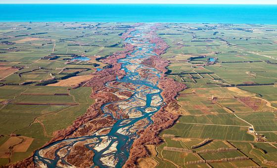 New Zealand’s first UNESCO Global Geopark lies on the east coast of the South Island. The landscapes, rivers and tides of this geopark have enormous cultural significance for the local indigenous people, the Ngāi Tahu whānui. The geopark offers exceptional insights into the history of the Earth’s eighth continent, Zealandia, or Te Riu-a-Māui in Maori. The geopark provides evidence of the formation of Zealandia, which broke away from the ancient supercontinent of Gondwana around 80 million years ago. Norway: Sunnhordland Geopark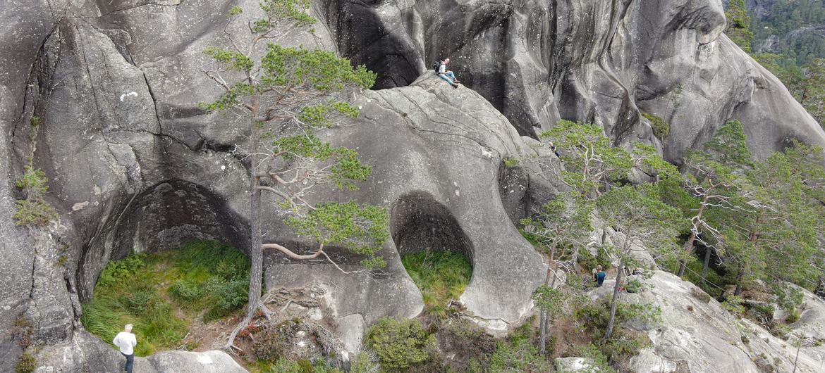 Sunnhordland UNESCO Global Geopark, Norway.
The landscapes in this geopark range from glacier-covered alpine mountains to archipelagos with thousands of islands situated on the strand-flat along the coast. The geological landscape displays textbook examples of glacial erosion that occurred during 40 ice ages. The Hardangerfjord Fault separates a billion years of geological evolution. Philippines: Bohol Island Geopark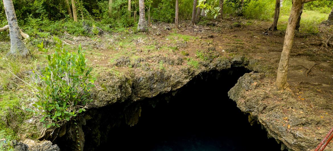 Bohol Island UNESCO Global Geopark, Philippines.
The Philippines’ first UNESCO Global Geopark, Bohol Island, sits in the Visayas island group. The island’s geological identity has been pieced together over 150 million years, as periods of tectonic turbulence have raised the island from the ocean depths. The geopark abounds in karstic geosites such as caves, sinkholes and cone karst, including the famous cone-shaped Chocolate Hills in the centre of the geopark. Republic of Korea: Jeonbuk West Coast GeoparkThis geopark tells 2.5 billion years of well-exposed geological history in the western part of the country. The vast tidal flats dotted with volcanoes and islands allow us to travel through time to piece together elements of the Earth’s history. Jeonbuk West Coast UNESCO Global Geopark has already been recognized by UNESCO as a natural and cultural World Heritage property and as a biosphere reserve. Spain: Cabo Ortegal Geopark Cabo Ortegal, Spain.
Take a journey into the interior of our planet by discovering rocks that emerged from the depths of the Earth almost 400 million years ago in what is now Cabo Ortegal UNESCO Global Geopark. This geopark provides some of the most complete evidence in Europe of the collision that caused Pangea, a process known as the Variscan Orogeny. Most of the rocks in this geopark were brought to the surface by the collision of two continents, Laurussia and Gondwana, which would eventually join the supercontinent Pangaea about 350 million years ago. Thailand: Khorat Geopark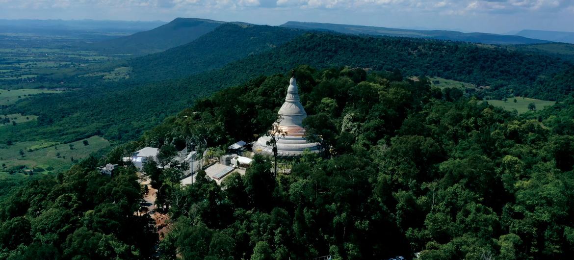 Khorat UNESCO Global Geopark, Thailand.
This geopark is mostly located in the LamTakhong river basin on the southwestern margin of the Khorat Plateau in Nakhon Ratchasima Province in northeast Thailand. The unique geological feature of the region is the diversity and abundance of fossils ranging in age from 16 million to 10,000 years. A large range of dinosaurs and other animal fossils like ancient elephants have been found in Mueang District. United Kingdom: Mourne Gullion, Strangford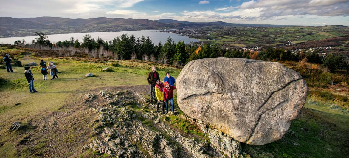 Mourne Gullion Strangford UNESCO Global Geopark, United Kingdom of Great Britain and Northern Ireland..
This geopark tells the tale of how two oceans evolved over 400 million years of geological history. It charts the closure of the Iapetus Ocean and the birth of the North Atlantic Ocean, which generated large amounts of molten rock (or magma) both within the Earth’s crust and on the surface. The geopark is located in the southeast of Northern Ireland, adjacent to the border with the Republic of Ireland. |